Enjoy ₹100 OFF on orders over ₹499, plus a FREE surprise gift on orders over ₹749FREE SHIPPING all over IndiaEnjoy ₹100 OFF on orders over ₹499, plus a FREE surprise gift on orders over ₹749FREE SHIPPING all over India Enjoy ₹100 OFF on orders over ₹499, plus a FREE surprise gift on orders over ₹749FREE SHIPPING all over IndiaEnjoy ₹100 OFF on orders over ₹499, plus a FREE surprise gift on orders over ₹749FREE SHIPPING all over India


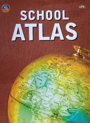
A school atlas is a collection of maps and geographical information specifically designed for educational purposes in schools. It typically includes maps of countries, continents, and regions, along with thematic maps and illustrations to help students learn about geography.